London, June 27 (EFE).- The United Kingdom’s heatwave is beginning to ease after record-breaking June temperatures, with cooler Atlantic air expected to bring conditions back to seasonal norms by early next week, the Met Office said on Saturday.
The national weather service has downgraded the red heat alert, the highest of its three warning levels, that was in place across much of the country from Wednesday to Friday.

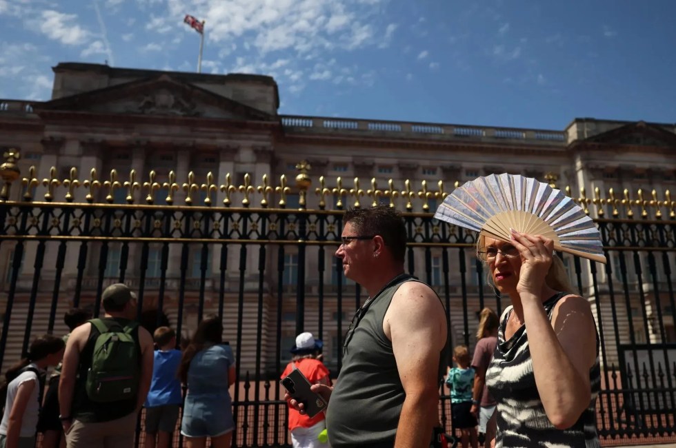
However, an amber alert remains in force until Sunday morning in parts of central and eastern England, where unusually high temperatures are expected to persist.
Temperatures in London remained close to 30 degrees Celsius on Saturday, a day after a June record of 37.3C was recorded in Santon Downham, Suffolk, in eastern England.

Forecasters expect temperatures to fall below 30C on Sunday and settle at around 25C from Monday onwards.
“By Sunday, fresher air from the Atlantic will be almost country wide; the far east of East Anglia hanging on to very warm but less humid weather followed by a much fresher nighttime for all,” chief meteorologist Dan Harris said.
“Temperatures will return much nearer to average for all by the start of next week.”

Harris also warned that isolated thunderstorms, some accompanied by hail, remain possible in parts of the country, although the risk is lower than during the peak of the heatwave.
Looking ahead, the Met Office forecast a more changeable pattern next week, with a mix of sunshine and cloud and occasional bands of rain moving in from the Atlantic. EFE
jm-sk