Jakarta, Aug 15 (EFE).- At least 38 people were killed and around 2,000 evacuated after a magnitude 7.7 earthquake struck off Indonesia’s Flores island on Saturday, triggering tsunami waves of nearly 1 meter as rescue teams continued searching affected areas.
The earthquake struck at around 6 a.m. local time (10 p.m. GMT Friday), with its epicenter about 62 km northwest of Ende, the most populous city on Flores, with nearly 90,000 inhabitants.

It occurred at a depth of 10 km, according to the United States Geological Survey (USGS).
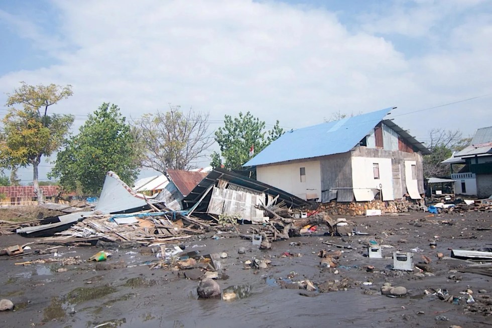
National Disaster Management Agency (BNPB) chief Suharyanto told reporters that there had been 38 deaths, two seriously injured, 11 mildly injured, and 2,000 evacuated.
The latest toll puts the number of fatalities at 17 in East Manggarai district, 16 in Manggarai, three in Sikka, one in Ende and one in West Manggarai. All are in East Nusa Tenggara province.
More than 50 houses were severely damaged and landslides were reported in several parts of Flores, according to the BNPB.
Komodo Airport, which serves the tourist destination of the same name, was also affected but remained operational, Transport Minister Dudy Purwagandhi said.
Oche Seko, a spokesman for the local Disaster Management Agency (BPBD), told EFE that hospitals in the area, including those in Ende, had moved patients outdoors and lacked enough tents to accommodate them.
Around 2,000 residents were evacuated from coastal areas after the earthquake triggered an early tsunami warning, which was lifted shortly afterward.
Several homes were nevertheless flooded in parts of Flores after waves of up to about 1 meter were recorded in Ende district.
Indonesian media outlets including Kompas and the local edition of CNBC published images showing evacuations and unusual sea movement shortly after the earthquake.
‘Pieces of the ceiling fell on our heads’
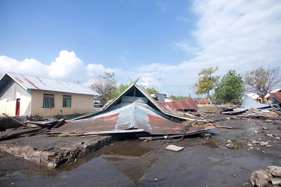
“Everything started shaking, the walls cracked and pieces of the ceiling fell on our heads,” Spaniard Santiago Tinoco told EFE from western Flores.
“We were very afraid the building would collapse on us,” said Tinoco, who lives in Labuan Bajo, the gateway to Komodo National Park, where he works as a professional diver.
Tinoco said he and his partner live in a three-story building that is relatively tall for the town. As they descended the stairs during the earthquake, “stones, rocks, pieces of the ceiling were falling. The stairs were breaking and we felt like they were going to collapse,” he said.
Tinoco said his house had been “destroyed or partially destroyed.”
More than 200 km from Labuan Bajo, in the town of Maumere, Eka Putera Nggalu described to EFE his fear of losing his home.
“We ran out and stayed in the yard watching the house shake (…) We couldn’t help but think that the house, which is almost 40 years old, could collapse,” said the 34-year-old artist.
Emilianus Dedyson, a priest in Maumere, near the epicenter, told EFE that residents “left their homes with their belongings in search of shelter to protect themselves.”
The priest also recalled the “trauma” that remains among local residents, including himself, from the 1992 Flores earthquake and subsequent tsunami.
That earthquake also measured 7.7 but had different characteristics and generated an unusually powerful tsunami that killed around 2,500 people.
A different tsunami from 1992
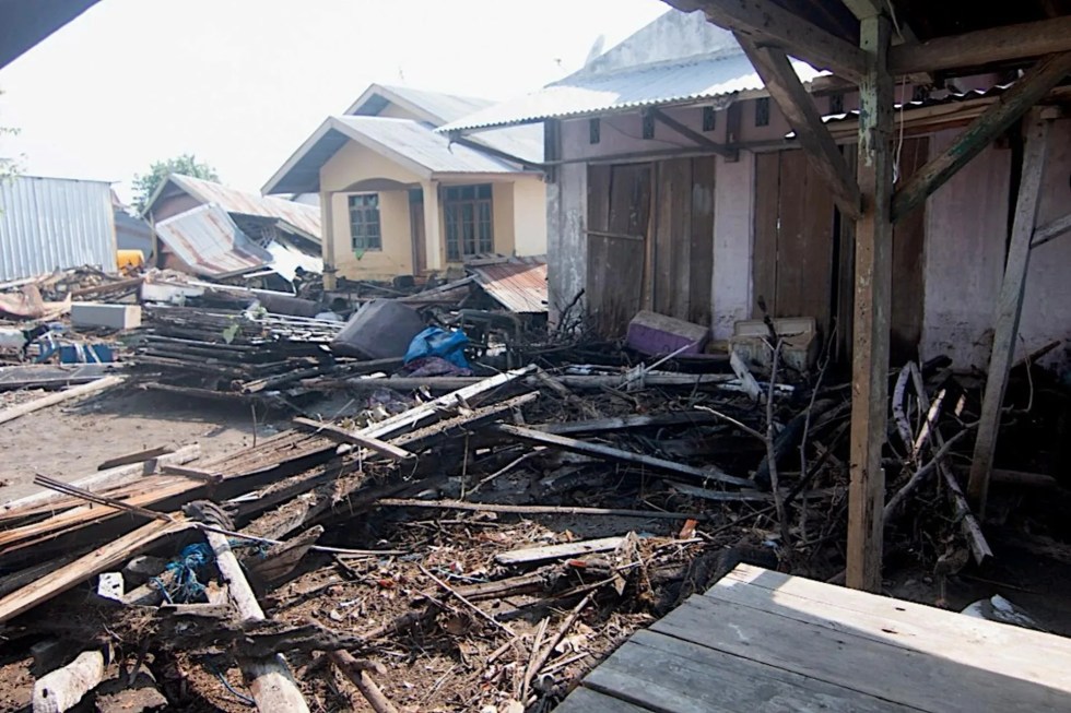
The 1992 earthquake, unlike Saturday’s quake, triggered a massive underwater landslide as well as displacement caused by the reverse fault, Daryono, a member of the Indonesian Association of Disaster Experts who uses only one name, told EFE.
The combination generated “a giant tsunami with waves reaching heights of up to 26 meters that swept inland in less than five minutes, leaving residents no time to escape,” he said.
Saturday’s earthquake, however, “was driven exclusively by reverse faults, without triggering significant underwater landslides.”
As a result, the tsunami was much smaller, with waves of less than 2 meters, and did not cause destructive coastal flooding, Daryono said.
Seismic day
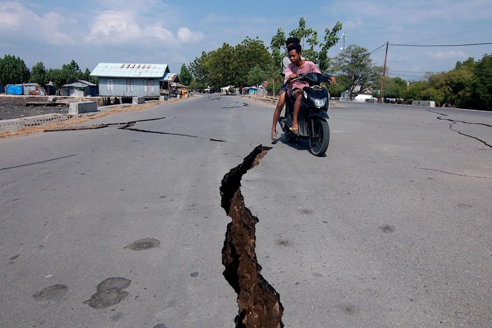
Hours later, another magnitude 6.9 earthquake struck northern Indonesia, according to the USGS.
The tremor occurred at a depth of 183 kilometers, according to USGS data. No casualties or material damage had been reported, and authorities did not issue a tsunami warning.
Indonesia lies on the so-called “Pacific Ring of Fire,” an area of intense seismic and volcanic activity caused by the convergence of several tectonic plates.
The archipelago, made up of more than 17,000 islands, frequently experiences powerful earthquakes. EFE
sh-up-sk